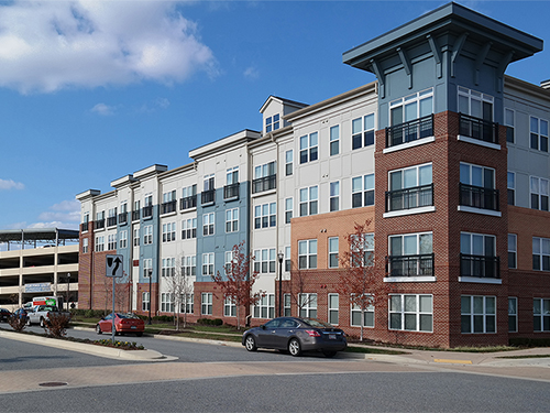
The Arbors at Baltimore Crossroads, Baltimore County, MD
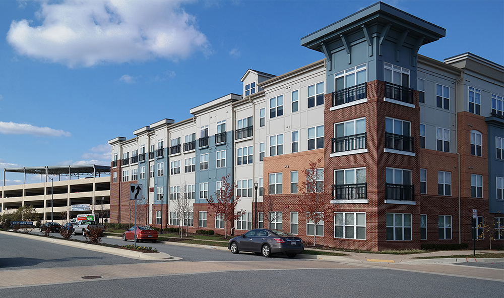
This seven-acre, LEED Silver, 365-unit luxury rental apartment community incorporates an attached six-story, 411-car parking structure, which allows residents to park and live on the same level of the building. MRA surveyors met with the architect and general contractor to determine how this complicated building would be staked out to ensure that all annexes of this unusual building joined together properly. MRA also provided as-built surveys.
This project has received several awards including: Maryland Multi-Housing Association (MMHA), Stellar Elevator Community: $1,200 and Up “Gold Award”; Delta Associates 16th Annual Apartment & Condominium Industry Awards for Excellence, Best Baltimore Apartment Community Award Winner; Great American Living Awards (GALA), Best Design & Architecture, Multi-Family New Construction, 5 stories and Under “Grand Award.”
Prospect Green, Harford County, MD
Windlass Run, Baltimore County, MD
Enclave at Box Hill, Harford County, MD

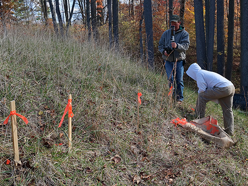
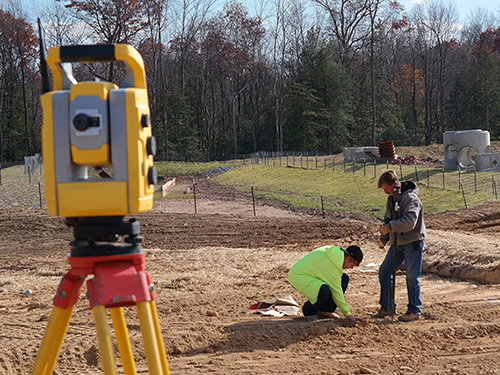
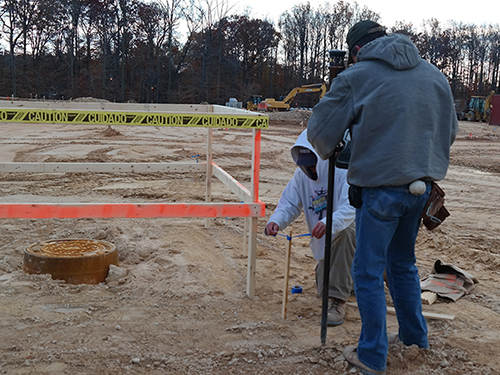
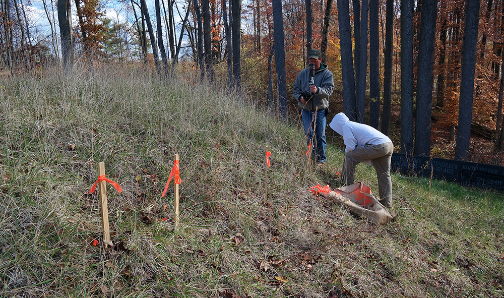
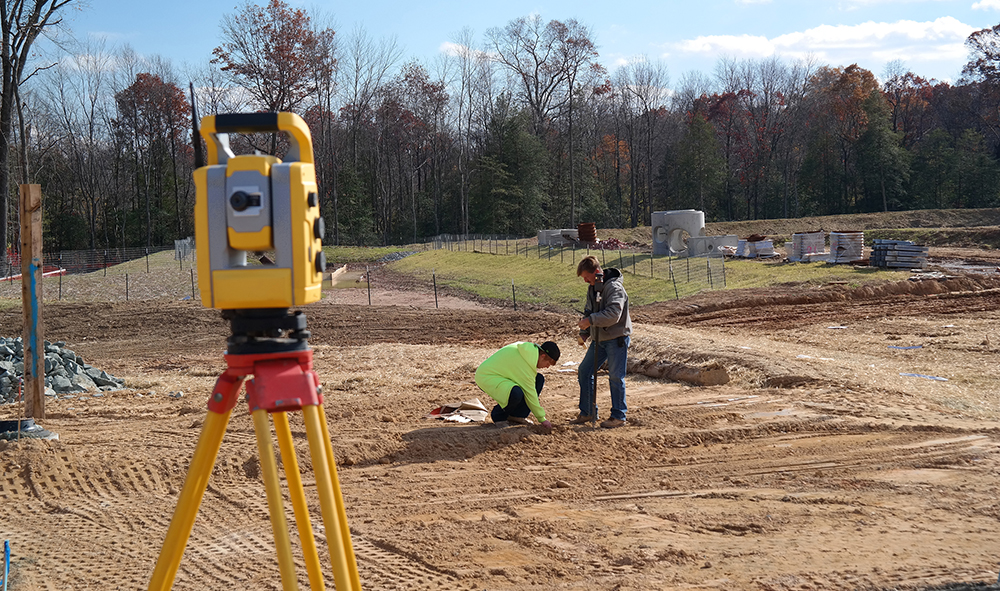
Representative Projects